Show more disputed lines for POV in low zooms #1970
Description
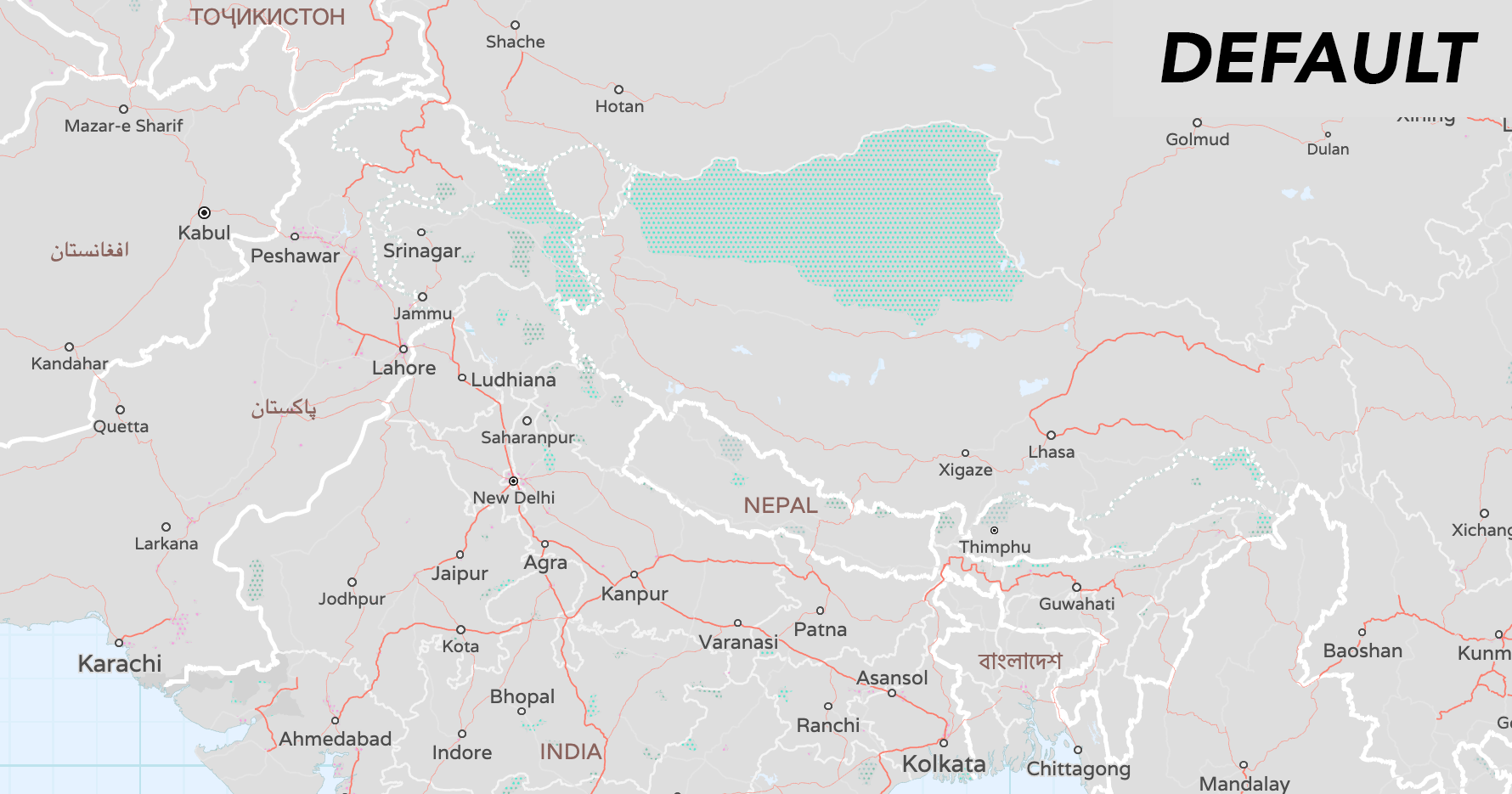
To solve "gaps" in the country boundary lines at low zooms sourced from Natural Earth, we need to be more liberal in NOT filtering by min_zoom all the time, just for that layer and features (country, disputed, region kinds in boundary layer).
Per nvkelso/natural-earth-vector#301 (comment):
Adjust min_zoom of disputed lines to be smaller when one or more of their claimants needs them earlier to complete their own country boundary line at lower zooms. See China along India, Pakistan, Bhutan salients.
The simplest thing to do is in QGIS (and for vector tiles) is to always include features from the scalerank theme (so remove the min_zoom filters) as for default the current min_zoom is ideal... but otherwise we'd need to include optional min_zoom_{pov} for all the POV and there are an insane number of columns as it is.
If we were to add various min_zoom_{pov} then downstream QGIS and vector tiles would need to take the minimum min_zoom_{pov}for inclusion at that zoom... but that's not something QGIS's basic layer filters are setup for, and the layer styling is already pretty complicated as it is.